My First Picture Atlas
by Catherine Bruzzone, illustrated by Stu McLellan
Interest age: 4 to 7
Reading age: 7+
Published by b small, 2025
About this book
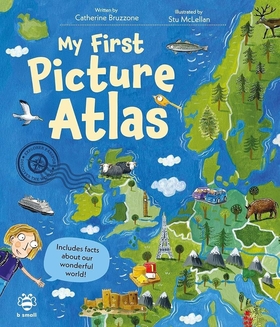
An atlas is a book of maps - either of a region, a country, a continent, or the whole world.
This first atlas for younger primary readers features each continent (including the Arctic and Antarctic) beautifully illustrated on a double-page spread, with a panel of picture features to find on the maps - from brown grizzly bears on the map of North and Central America to tomatoes on the map of Europe.
As well as that, each panel holds illustrations of two children (featuring a diverse representation of characters) and a simple challenge to find the country they are from on the map.
After each continent map, there’s also a clearly laid out double-page spread featuring a list of countries in the continent and some simple facts about things found there: food, plants, animals, monuments, crops, industries, and natural features.
Complete with a glossary at the end of the book and a quiz running through it, My First Picture Atlas is a lovely introduction to geography for mid-primary aged children.
The book layout and font is nice and clear, the illustrations are appealing, and there are enough facts to make things interesting without feeling overwhelming or too wordy.
More books like this
-
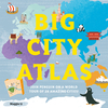
Big City Atlas
by Maggie Li
5 to 14 years
-
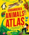
Endangered Animals Atlas
by Tom Jackson, illustrated by Sam Caldwell
9 to 14 years
-
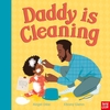
Daddy is Cleaning
by Angel Dike, illustrated by Ebony Glenn
1 to 5 years
-
All Kinds of Families
by author-illustrator Sophy Henn
3 to 7 years
Lists of recommended reads
-
Suggested reading for Years 1 & 2: Summer term
Here are some of our favourite books that are perfect for pupils in Years 1 and 2 to read during the Summer term.
-
Books we loved in December 2025
A selection of the books we loved in December 2025